
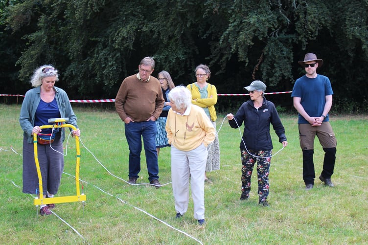
Around 30 volunteers took part in a community archaeology project investigating the mysterious site near Penpont known as Castell Einion Sais.
Organised by the Brecknock Society, the two-day project gave budding archaeologists aged from about 10 to 80 the chance to learn about modern ‘no-dig’ geophysical survey techniques.
The volunteers came from across Breconshire and the wider region. Lead archaeologist Jennifer Muller briefed each group about the techniques being used and demonstrated how to traverse the site correctly with the survey equipment before allowing volunteers to carry out the surveys themselves.
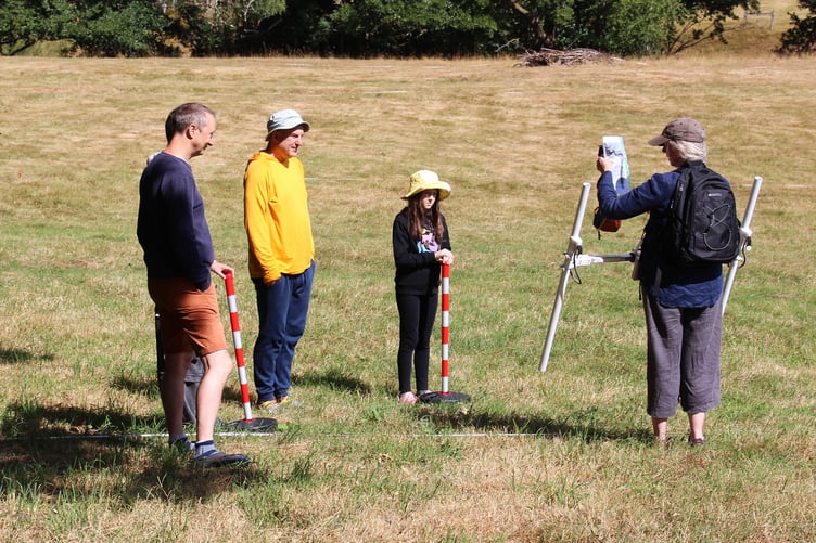
The project also attracted around 120 members of the public, who visited to watch the work and find out more about the history of the site.
Display boards provided information about Einion Sais and his family, evidence from old maps and documents, and aerial LiDAR scans which show a square feature believed to be the remains of a former moat.
Visitors came from nearby communities as well as further afield. They included a group from New Zealand, a London archaeology lecturer and people who had traced their family history back to Einion Sais himself.
The event also became an opportunity for people with an interest in the site and its history to meet and exchange information. Organisers said visitors stayed for several hours, while around 50 people attended a concluding talk at Penpont Stables at the end of the second day.
However, while the project generated plenty of interest, the archaeological surveys did not immediately reveal all the answers.
The first day’s work involved magnetometry, which measures changes in the earth’s magnetic field. Volunteers had to remove metal from their clothing and equipment, with even zips proving problematic.



The suspected moat did not appear to register on the magnetometry survey. One prominent circular feature was identified, but its significance remains unclear and will need further analysis.
The second day of the project saw the use of an earth resistance meter, which passes a small current through the soil to measure relative moisture levels beneath the surface.
However, the exceptionally dry conditions meant the equipment struggled to work. After the driest July on record, there was so little moisture in the main part of the site that the machine initially appeared to be faulty.
Volunteers eventually found a shaded and damper area where they were able to practise the technique.
The lack of moisture may have hampered the ground surveys, but the dry weather proved useful for aerial photography.
Drone photographer Richard Parry captured an image showing the shape of the ‘moat’ more clearly than any previous photograph, providing additional evidence of the feature.
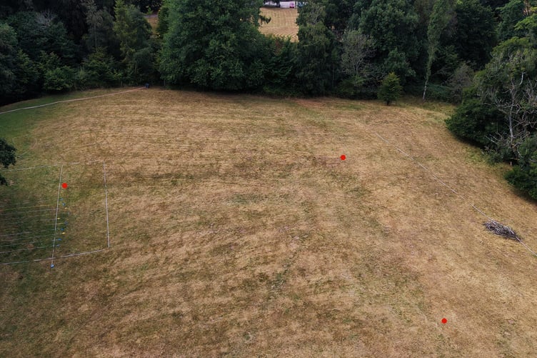
Organisers said that further investigation and analysis would be needed before the site's secrets could be fully understood, with some serious rain also needed to make future earth resistance surveys possible.
The project was funded by Bannau Brycheiniog’s Sustainable Development Fund and formed part of the Council for British Archaeology’s Festival of Archaeology.
The Penpont Estate and Action for Conservation also provided essential support.
Comments
We've recently changed our login process. If you have an account for commenting, you will need to re-register on the login window.
This article has no comments yet. Be the first to leave a comment.